
geoMap
Easy drawing of geographic maps in Processing.
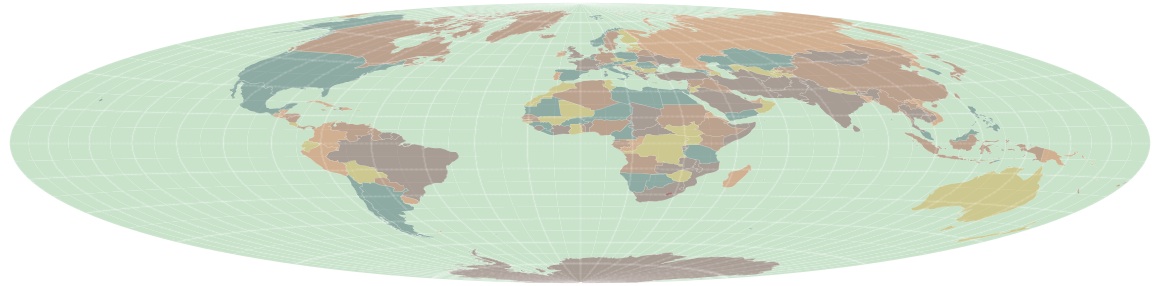
The geoMap library allows you to draw customised maps in Processing from any shapefile representing geospatial data. Shapefiles are the de facto standard for exchanging vector geographic data such as country and region boundaries, street mapping and GIS data.
Download
Current release - geoMap.zip V. 1..3 (4th March, 2017).
Source code - available from github along with latest pre-release updates.
Installation
Unzip the current release file (above) into the 'libraries' folder of your processing sketchbook.
Documentation
Getting started - See using the geoMap library to get going.
Reference - Detailed information about the geoMap classes in the API reference, which is also included in 'reference' folder of the library.
Gallery
Examples of geoMaps.
Technicalia
Platform - MacOS X, Windows, Linux
Processing - Compatible with versions 1.5.x to 2.x
Dependencies - None.
Keywords - mapping, cartography, shapefile, geospatial, GIS.